Rig alignement
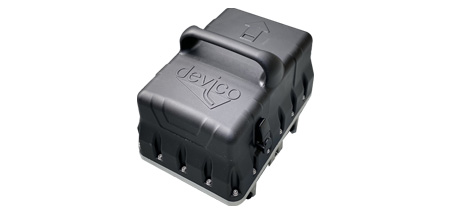
DEVIALIGNER™
The DeviAligner is a portable, battery-operated, north-seeking gyro alignment system designed to take and record highly accurate measurements of true north, inclination and roll angles in surface and underground drill sites alike. It’s perfect for diamond drilling, reverse circulation, geotechnical investigation and exploration. It can also be combined with the DeviGyro to form a powerful borehole survey package.
Key features:
- Compact plug-and-play system
- Effective north-seeking gyrocompass
- Unique strap-down bracket
- Wireless communication with an Android app
- No recalibration required
- Rechargeable double battery for continuous use
- Instant fastest-setting times in the industry
Learn more:
Request a quote Download spec sheet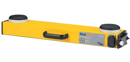
DEVISIGHT™
DeviSight Surface is non-magnetic GPS compass for surface alignment. It can measure true north azimuths, DIP, latitudinal and longitudinal coordinates. Its highly accurate accelerometers allow users to transfer the alignment from a nearby location to fine-tune the rig’s alignment and more. The DeviSight is also built for true efficiency; its rechargeable batteries have 11–12 hours of life on a full charge, twice the capacity of its closest competitor.
Leading features:
- Records azimuth, latitude, longitude, incline, roll, date, time
- Most accurate system of its type
- Final surface positions stored in a secure format